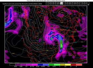
I just check the models and things are looking pretty likely for a storm to develop next week. It is too early to tell how strong it is going to be, but it looks like it could be another big one for the central states out to the east coast.
Edit: #1 Dec 19
Jumped the gun a bit. It looks like the storm will likely track farther south so it shouldn’t become a major snow event.
Edit: #2 Dec 22
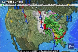
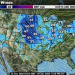
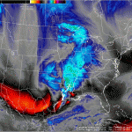
It appears as though the storm track will now fall farther north and will impact North Dakota, South Dakota, Nebraska and Minnesota. As much as a foot of snow is expected in some areas. The following day high winds will cause it to blow around.
Edit #3
It now looks like the parts of Minnesota can expect as much as 20 inches of snow from this system. South Eastern North Dakota and North Eastern South Dakota might get about a foot. It looks to me like the warnings extend too far to the west, but the storm path could likely shift that direction since the bulk of the system is in Utah right now.
Edit#4 Dec 25 12:36 a.m.
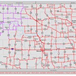
Well, unfortunately it looks like I was right. I had no idea how big the storm was going to be, and I originally expected it to impact areas farther south rather than north. It looks like I’ll have some time to blog since I wont be able to leave my house for the next 2 or 3 days.
I will have pictures from through out the storm and after. The first of which I’m going to go take now.
Edit 5: Dec 25 11:03 P.M


Trackbacks/Pingbacks