I put together a Google Earth file with a few interesting things tagged. Click Here to Download the file..
Tagged Locations:
Glacial Lake Agassiz Beaches: Beaches near the GF Air Base. Beaches basically account for all natural linear features running southeast to northwest in the Red River Valley. In Canada the beach direction may be variable. It should be noted that there are often multiple beaches in the Northern Red River Valley that correlate to a single beach in the Southern Valley. This has been attributed to rapid uplift taking place as the glacial ice receded. Presentation I did for a class on the topic. Presentation I did for class on the Beaches of Glacial Lake Agassiz (Worth a look)
If you want to know more try
I had to make a digital copy of this so I might as well make it available. I don’t think it is copyrighted. Let me know if you think it is.
Southern Spillway: One of several catastrophic outflow points of Lake Agassiz. Note: The outflow points change overtime depending on the level of the lake and ice conditions farther north. & Large Scale braded stream cause by the one of the lake Agassiz floods.
Other Points of interest:
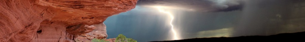
Pembina Escarpment: The Pembina Escarpment marks the edges of the prehistoric Red River Valley (pre glaciation) Note: Try to have your Eye alt around 20000 ft. To my knowledge there is no documentation on the joints in the Pierre formation in this region. (I looked) It could make a really good senior project for someone at UND or NDSU.
Logical Devils Lake Outlet Locations: I lived in the Devils Lake area so I still keep track of the area.
Dahlen Esker: Grand Forks County If you are looking for more information on Eskers try: https://www.dmr.nd.gov/ndgs/ndnotes/Eskers/Eskers.asp
http://www.ndsu.nodak.edu/nd_geology/nd_glacial/esker1.htm
I am interested in the history of lake agassiz because I have on my land mooring stones that show that ancient man was on the herman beach. I have found everything is much younger in time than most think and when factoring the precence of these people the true history is found. Example the Dahlen eskar is a man made earthwork site. There is also a mound complex at elevation 1140 that is as large as any in the US. What I have found is that there is a big problem with living in a dry lake bed because of the lakes history. I have also found nobody cares.
noticed some errors in the file. I might fix the wording and add a little. I’m too busy to do it this second though.